Project SHIELD: An initiative aimed at strengthening climate resilience in small island communities
Climate change is no longer a distant environmental concern. For island communities such as Malta and Gozo, it is already reshaping coastlines, infrastructure, tourism patterns, and long-term economic planning. Rising sea levels, coastal erosion, flash flooding, and increasing pressure on infrastructure are becoming interconnected challenges that require more multidisciplinary approaches to risk assessment and resilience planning.
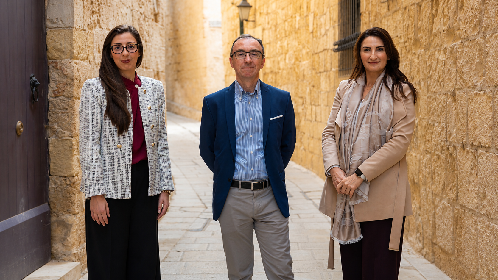
Against this backdrop, Project SHIELD (which stands for Socio-economic and Hazard Intelligence for Exposure and Layered Data) has emerged under the leadership of Gabriella Borda, Charles Galdies and Charlene Darmanin as an ambitious research initiative rethinking how climate-related exposure is assessed locally. Focused on the coastal village of Marsalforn in Gozo, the project combines artificial intelligence, geospatial analytics, computer vision, and community participation to create an integrated climate exposure framework capable of supporting more informed decision-making.
Moving Beyond Traditional Risk Mapping
Conventional climate risk assessments in Malta tend to remain fragmented, often treating hazards, socio-economic factors, and infrastructure conditions as separate analytical tracks. While multi-risk integration is standard practice in many advanced assessments, it is still rarely implemented locally because the necessary technolgical frameworks are not in place. This is particularly true for systems thinking tools and AI-assisted analytical methods, which are not yet widely adopted. As a result, neighbourhood-level-exposure and the dynamic interactions between climate, society, and the built environment are often under-represented in local application.
The SHIELD initiative addresses these limitations through a systems-thinking approach that integrates multiple layers of risk into a unified framework. The project will develop an AI-assisted “Exposure Heatmap” capable of visualising how physical hazards, building vulnerability, and socio-economic exposure interact spatially across Marsalforn.
This multidimensional model represents a significant evolution in climate adaptation planning of Marsalforn. Instead of treating hazards separately, SHIELD analyses compounded exposure – recognising that flooding, erosion, tourism dependency, and ageing infrastructure often overlap in ways that amplify risk.
For financial and policy stakeholders, this integrated perspective is increasingly important. Climate exposure is no longer solely an environmental issue: it is becoming a governance, investment, insurance, and economic resilience issue as well.
Why Marsalforn?
Marsalforn provides an ideal pilot site for the project because it reflects many of the challenges faced by Malta and by similar coastal communities. This village combines tourism-driven economic activity with ageing building stock, dense coastal and urban development, and increasing pressure on the environmental and infrastructural.
Like many small island localities, Marsalforn is particularly vulnerable to sea-level rise, coastal erosion and storm surges. At the same time, its economic dependence on tourism creates additional vulnerability from climate-driven disruption. Damage to infrastructure, reduced accessibility, and degraded environmental quality are expected to have a cascading effect on local businesses and livelihoods.
By focusing on Marsalforn, SHIELD aims to develop methodologies that are locally grounded while also scalable to other island and coastal regions facing similar risks.
Utilising Artificial Intelligence (AI)
One of the project’s defining features is its use of AI to automate and enhance climate exposure analysis. The project integrates two major AI domains: geospatial analytics and computer vision.
Geospatial AI will be used to analyse satellite imagery, topographic information, climate projections, and open-source geospatial datasets to model hazards such as rain-induced and coastal flooding, soil and coastal erosion patterns and sea-level rise. These datasets will help identify where environmental risks are most likely to intensify over time. At the same time, computer vision techniques and photogrammetric techniques will be used to analyse the built environment at street-level. This includes identifying building typologies and estimating the construction period, also highlighting potential external structural issues.
Importantly, the project also incorporates Structure-from-Motion and Multi-View Stereo photogrammetry methods, which reconstruct three-dimensional urban environments from overlapping photographs. This allows researchers to estimate building heights and urban geometry with far greater granularity than traditional two-dimensional mapping approaches.
The inclusion of vertical data is particularly valuable for climate risk modelling. Rain-induced flood exposure, for example, is influenced not only by proximity to hazard zones but also by topography, building elevation, density, and urban morphology. By introducing 3D modelling capabilities, SHIELD will enhance the precision of localised exposure assessments for Marsalforn. Deep learning models, including Convolutional Neural Networks (CNNs), will further support semantic segmentation and feature recognition from imagery, helping automate the classification of building materials, architectural typologies, and signs of deterioration.
Together, these tools create a dynamic and updateable exposure framework that reduces reliance on labour-intensive manual surveys while increasing analytical detail.
Integrating Social and Economic Vulnerability
What distinguishes SHIELD from many conventional climate mapping platforms is its emphasis on socioeconomic vulnerability alongside environmental risk. Climate impacts are rarely distributed equally.
Distinct population groups, businesses, and neighbourhoods are often more vulnerable because of economic dependency, demographic composition, or infrastructural conditions. In Marsalforn, tourism-related economic exposure is particularly significant.
The SHIELD framework, therefore, incorporates socio-economic indicators into its scoring and weighting system, enabling the research team to identify localised hotspots at street level, where environmental hazards intersect with economic and social fragility. This layered analysis has important implications for public policy and financial planning. It can support more targeted prioritisation of adaptation measures, infrastructure investment, insurance assessment, emergency preparedness, and long-term urban planning.
As climate-related financial risk becomes an increasing concern across Europe, tools capable of quantifying multidimensional exposure are likely to become increasingly relevant to both public institutions and private-sector stakeholders.
A Participatory Model for Climate Adaptation
Beyond technological innovation, SHIELD places strong emphasis on participatory engagement. The project incorporates workshops, interviews, and stakeholder feedback sessions involving residents, business owners, local authorities, and community organisations. These participatory processes are designed to validate technical findings, identify locally perceived risks, and refine exposure indicators using lived experience. This co-creation approach helps bridge a common gap in climate adaptation planning: the disconnect between scientific modelling and community realities. By embedding local knowledge directly into the modelling cycle, SHIELD is producing outputs that are not only scientifically robust but also socially relevant and actionable. This participatory dimension is especially important in small island communities, where informal knowledge, seasonal economic dynamics, and local behavioural patterns may not be fully captured through conventional datasets alone.
Building a Replicable Framework
While Marsalforn serves as the pilot site, the broader ambition of SHIELD Gozo extends beyond a single locality. The project is designed as a modular and replicable framework that could be adapted to other coastal and island communities facing climate-related exposure challenges. Its methodologies aim to provide a blueprint for integrating AI-assisted climate diagnostics into local governance and resilience planning processes. In doing so, SHIELD contributes to a growing international shift toward data-driven adaptation strategies that combine environmental intelligence, technological innovation, and stakeholder participation.
For Malta, the initiative also represents an opportunity to position itself at the forefront of applied climate innovation for small island states – an area likely to grow in importance as climate finance, sustainability regulation, and resilience investment continue to evolve globally. Ultimately, SHIELD demonstrates how artificial intelligence can move beyond abstract technological promise and become a practical tool for improving resilience, strengthening planning capacity, and supporting more sustainable futures for vulnerable coastal communities.